Use Cases
How will you use the Canada1Water model?
Agriculture
Freshwater is essential to growing crops and raising livestock. Farmers need to know how much water they can take sustainably from surface sources like lakes and rivers — or from groundwater reserves, which are often the most accessible to agricultural operations. Farmers also need early warning of trends that suggest periods of drought or excessive precipitation could be on the way. The insights from Canada1Water will help avert short-term decisions that compromise water supplies, supporting instead strategies to sustain Canada’s food production industries over the long term.
Water management
Many local and regional water authorities are fighting an uphill battle to make their infrastructure more resilient to the impacts of climate change. Budgets are tight — meaning the value of proposed investments has to be crystal clear — and most long-range climate projections are inaccurate. Canada1Water brings newfound precision to infrastructure planning, especially for communities without deep in-house modelling resources. It also highlights interdependencies between different jurisdictions’ water supplies, supporting cooperative sustainable planning and equitable water use.
Economic statistics
Statistics Canada’s Canadian System of Environmental-Economic Accounts compiles information on ecosystems and the role they play in providing goods and services. Water resources are a key focus, particularly their status and how they have changed over time. By integrating climate, land surface and hydrology into a single, highly accurate historical simulation, Canada1Water provides regularized, consistent data that could serve as the baseline for more detailed statistical studies than are currently possible.
Local modelling
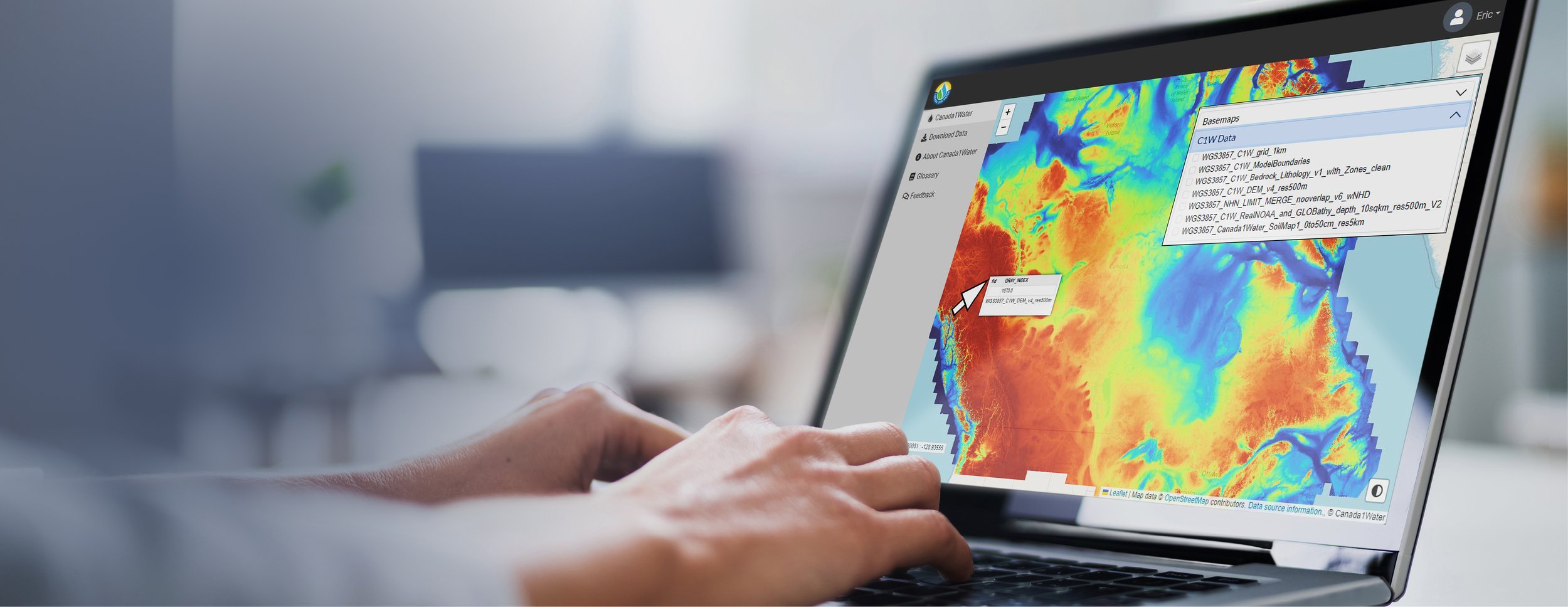
Local modelling for community-level or industrial water use usually focuses in great detail on small geographic areas. While Canada1Water is too coarse on its own for such uses, it provides a prebuilt starting point for local modellers to work from — saving time and money by allowing them to re-discretize layers into finer meshes and apply their own local data. ‘Nested’ models like these have already been developed for regions such as the Rainy River watershed in Ontario and the Carcajou River watershed in the Northwest Territories, with many more to come now that the Canada1Water datasets are publicly available.
Resource industries
Resource development activities such as oil and gas extraction or mining operations depend on water use and can be active for decades. That makes it crucial to understand how water supplies are likely to change over time — and what can be done to preserve them. With a new push in Canada to mine critical minerals for technologies like batteries that are key to a greener future, an ability to make informed decisions about water use is essential. Companies can identify where regional assessments are needed and use Canada1Water to see where water supplies exist and how they may evolve over the century.
Transboundary watersheds
Groundwater and surface water have no regard for political boundaries. An aquifer in one jurisdiction may feed lakes and rivers in another, and many bodies of water — from the Great Lakes to Lake Koocanusa — cross the border between Canada and the United States. Knowing where water originates is vital to negotiating its use; understanding who depends on water sources is key to making decisions about how much can and should be drawn. As people migrate to Canada and the northern U.S. in response to global climate change stressors, many water sources along the Canada–U.S. border could become strained without the kind of proper, well-informed management Canada1Water can support.
Water budget forecasting
Water budgets estimate the flow of water into, out of and within a defined system or area, and can be used to understand the dynamics of water storage in different reservoirs (e.g., surface water vs. groundwater) and trends in the sustainability of water resources. They’re typically hard to calculate, especially on a national scale. Even basic metrics such as precipitation can be unreliable, particularly in the north and mountainous areas. Other data, such as groundwater discharge, are rarely available at all. By providing a model for groundwater discharge at the continental scale, Canada1Water will give researchers a greater ability to tackle groundwater budgeting accurately. Because it is parameterized to Canada (unlike global models that deal with generalized global issues), Canada1Water will help bring more specificity to water budgets across the country and solve for uniquely Canadian challenges such as the impact of snow — contributing to better decisions around land use, community planning, energy development and more.
Wildfire management
Canada lost more than 13.7 million hectares of land to wildfires in 2023 — and 2024 is already shaping up to pose the same challenges of dryness and heat. Canada1Water can help organizations better understand the correlations between climate and wildfires, determine required management and suppression activities, and identify the most effective mitigation strategies. The Canadian Forest Service is already using Canada1Water to analyze the societal costs of wildfires in conjunction with the space-based WildFireSat initiative.
Wildlife conservation
The Cornell Wildlife Health Lab has partnered with more than 25 U.S. and Canadian wildlife agencies to understand and monitor the spread of chronic wasting disease (CWD), a fatal neurological disease affecting white-tailed deer and other cervid species in North America. Canada1Water’s NHN Network Linear flow dataset (read the spotlight on page 20 for more) supports the Lab’s modelling efforts by classifying intermediate and higher-order streams associated with deer movement corridors and drinking water sources. Other wildlife agencies and conservation authorities will be able to use the Canada1Water model and datasets for a vast range of similar purposes, building better knowledge and more effective strategies for the preservation of species and the environment.
What’s your use case?
If you think Canada1Water could help support your water management decisions, we’d love to hear from you.


